|
By: Russell J Gray
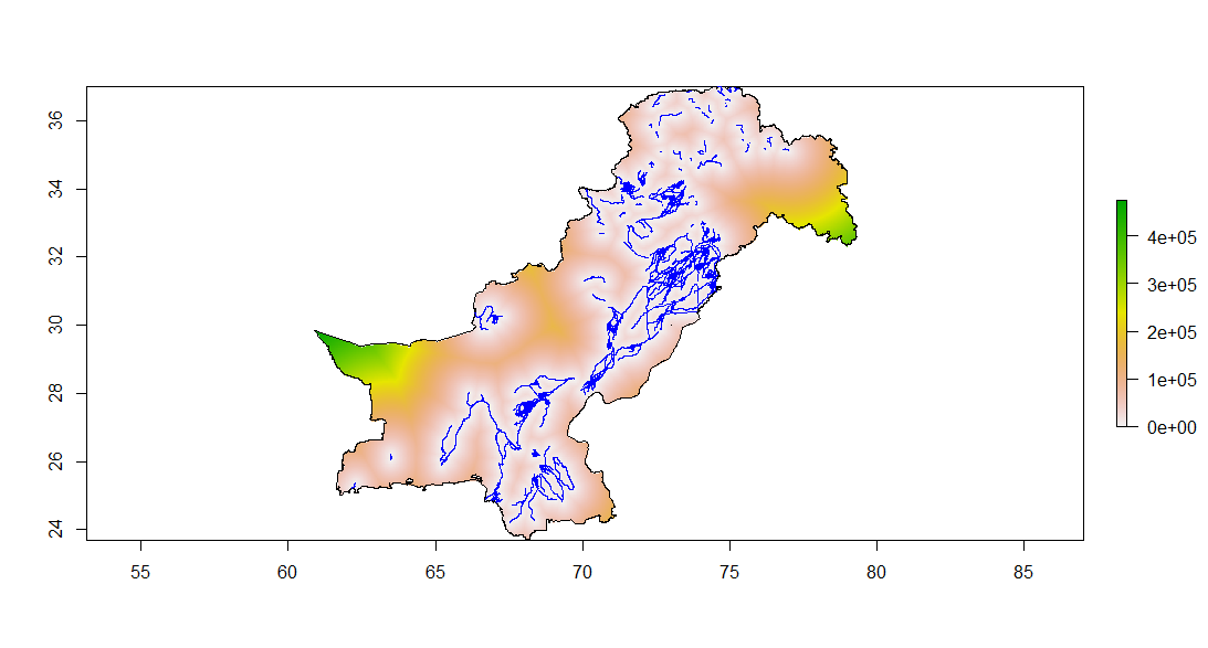
Like most people, I have traditionally used the raster package function rasterize() and distance() to generate distance rasters (for example distance to river rasters). However, both of these functions take an incredibly long time, especially when dealing with large, high-resolution data. So here I present a workflow that will take seconds, rather than hours by creating a distance to river raster layer for the entire country of Pakistan as an example:
0 Comments
|
AuthorRussell J. Gray Archives
April 2021
Categories |


 RSS Feed
